
At the latest since I first played the awesome Mini Metro game, I’ve been interested in metros. Particularly their maps.
They sit right at the intersection of urbanism, public transport and graphic design. Three topics I’m passionate about.
That’s why I immediately clicked on this video when it got recommended to me:
It’s a talk by Mark Ovenden, a transit historian who’s been obsessed with the topic since he was in school. He’s the author of a coffee table book that definitely goes on my wishlist.
In the video, he travels through the history of metro maps since this form of transportation got invented over 150 years ago. And how they evolved together with the system itself.
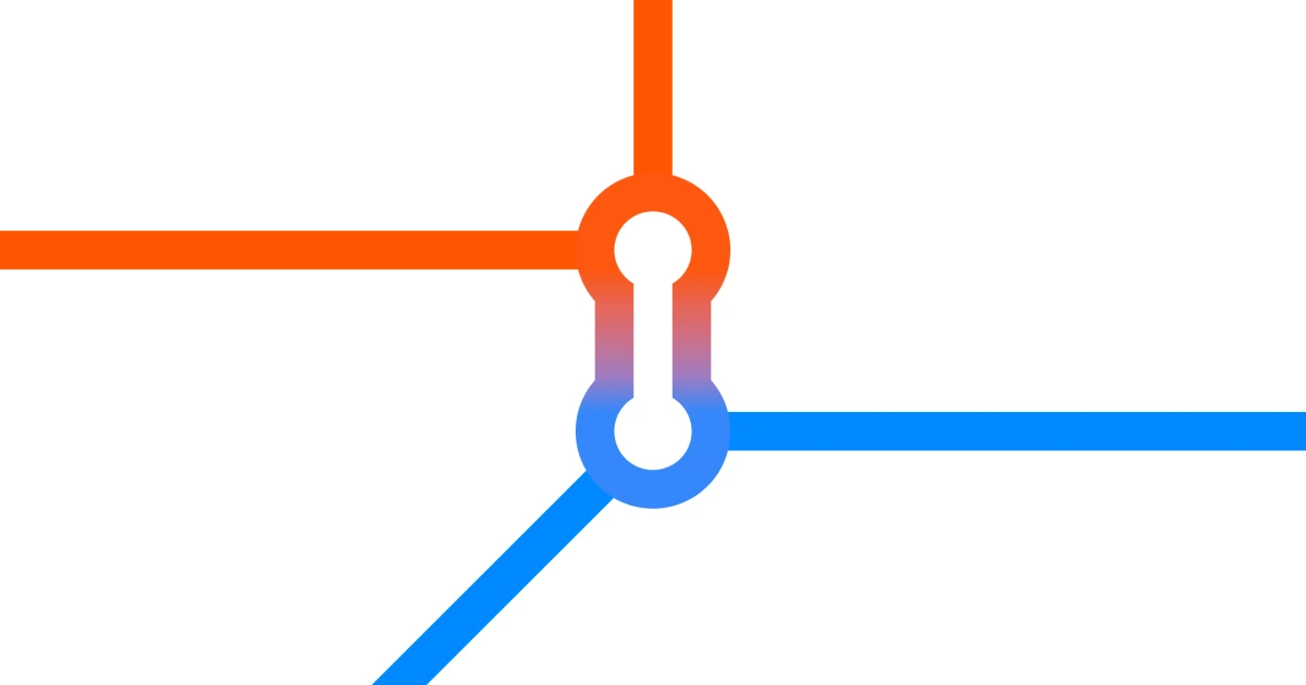
It’s exceptionally hard to create a metro map that is on the one hand simple enough to lay all the necessary information out cleanly. On the other hand, it should show enough detail that commuters know how they have to navigate the system.
With Harry Beck’s design for the map of the London Tube, the modern metro map was born. It’s so iconic that over time, it got shamelessly copied by other cities, inspired others, evolved and was even voted to be one of Britain's top three favorite designs of the last century.
While many of today’s metro maps around the globe are heavily inspired by Beck’s iconic design, they are still vastly different. In his talk, Ovenden goes over a couple of cities and how their maps reflect the unique circumstances of their geographies and systems.
For example, Berlin has a distinct circle shape that immediately draws your eye towards the city center.
Moscow, on the other hand, has the problem that the same station is named differently on different lines. A designer called Ilya Birman then came up with a way to incorporate this distinct feature into his map by using multi-colored stations.
Towards the end of the talk, Ovenden walks through a few concepts that may not be that practical but are more artistic. And he spends a few slides on the maps of today (and the future) that are no longer static, but dynamic.
This is just scratching the surface, and I encourage you to watch the full talk. In the meantime, I’ll be knee-deep in the metro map rabbit-hole and am gonna check out a few of these designers’ blogs.